Having been out for almost a week on our cycling tour through the north of the US state of Washington but having covered barely a third of the total distance of 270 km, it was time to put a few kilometres on our bike computers.
After we had slept in.
And had a coffee. ☕
And of course watched the solar eclipse!
Unlike the total solar eclipse in Germany in 1999, Washington was blessed with a cloudless sky. We followed the spectacle without special glasses, but could still watch the moon sliding in front of the sun. In Anacortes, though, the coverage was only 85% - so it stayed as bright as day the whole time.
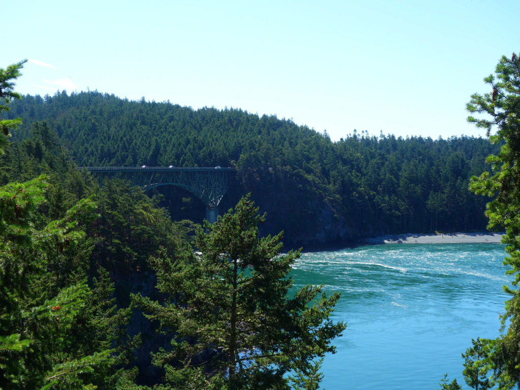
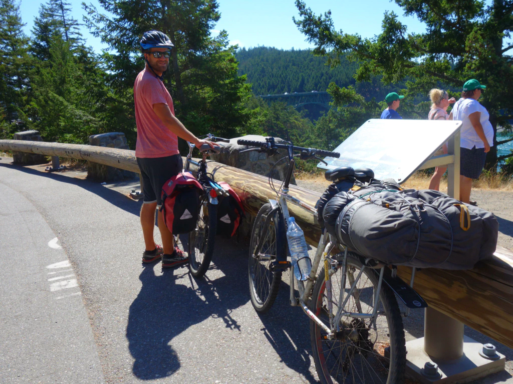
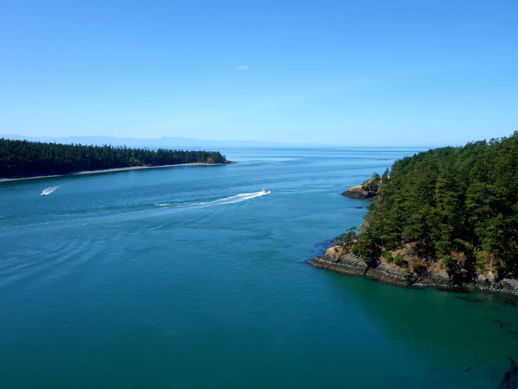
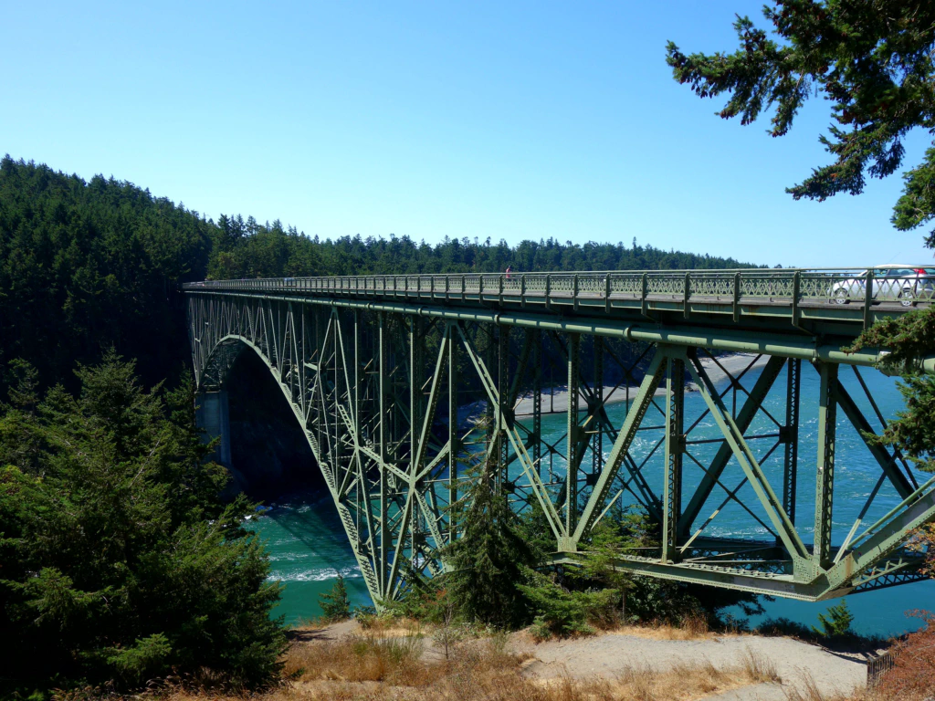
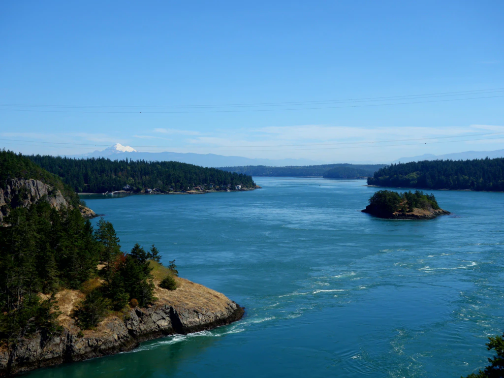
Across the impressive Deception Pass we cycled from the Fidalgo peninsula onto Whidbey Island. The strait was originally taken for a huge river. That is also why people thought Whidbey Island was part of the mainland. Given its size and the bridge connection, it really does not feel very island-like either.
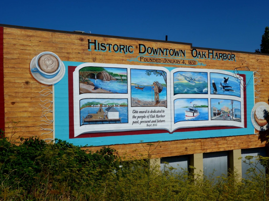
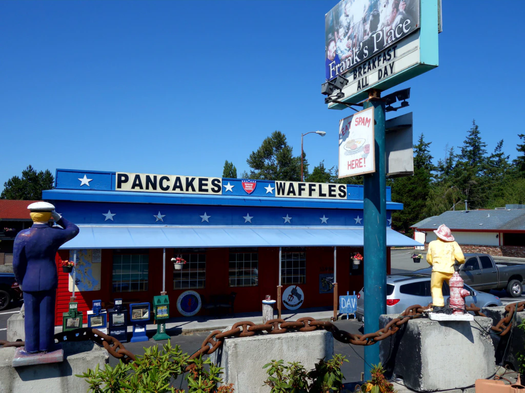
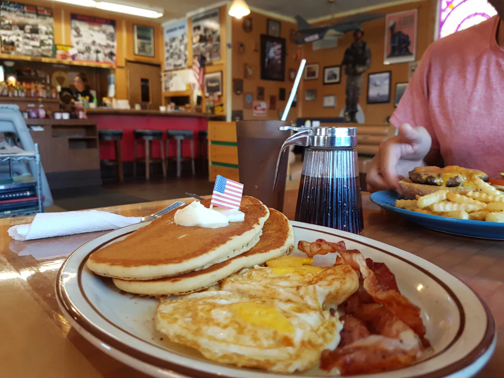
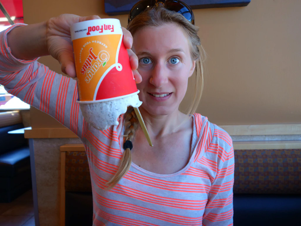
Along the way we took a break in Oak Harbor. Who can resist an advertising board reading “Pancakes & Waffles”? There was also an ice cream at Dairy Queen, who advertise that their soft ice cream is so firm you can hold the cup upside down. Amusingly they demonstrate that as they hand you your cup.
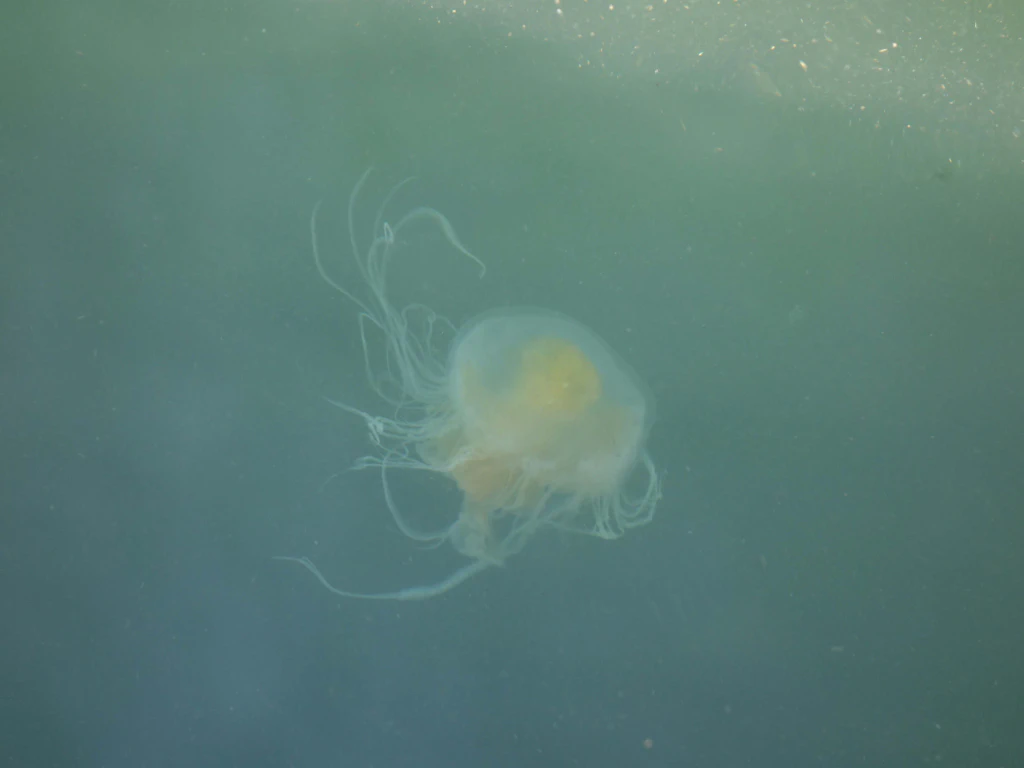
In pretty Coupeville as well we parked our bikes and marvelled at the many jellyfish in the water.
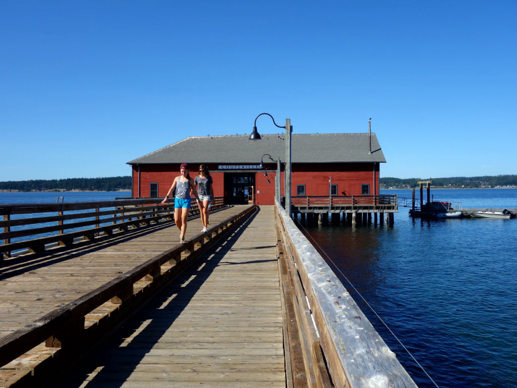
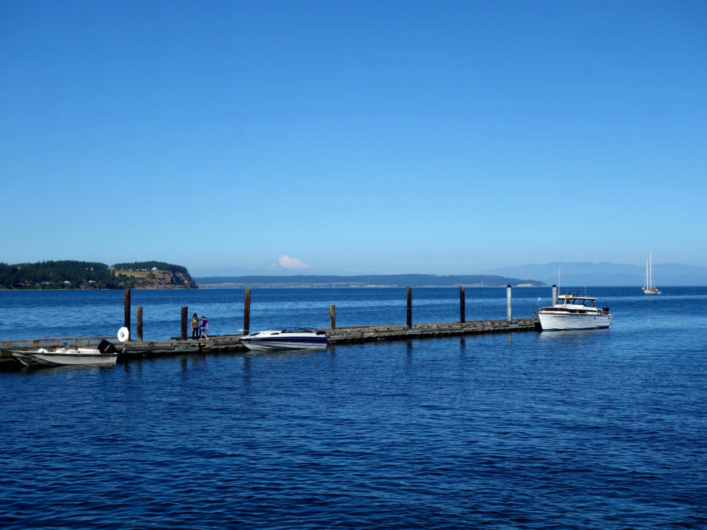
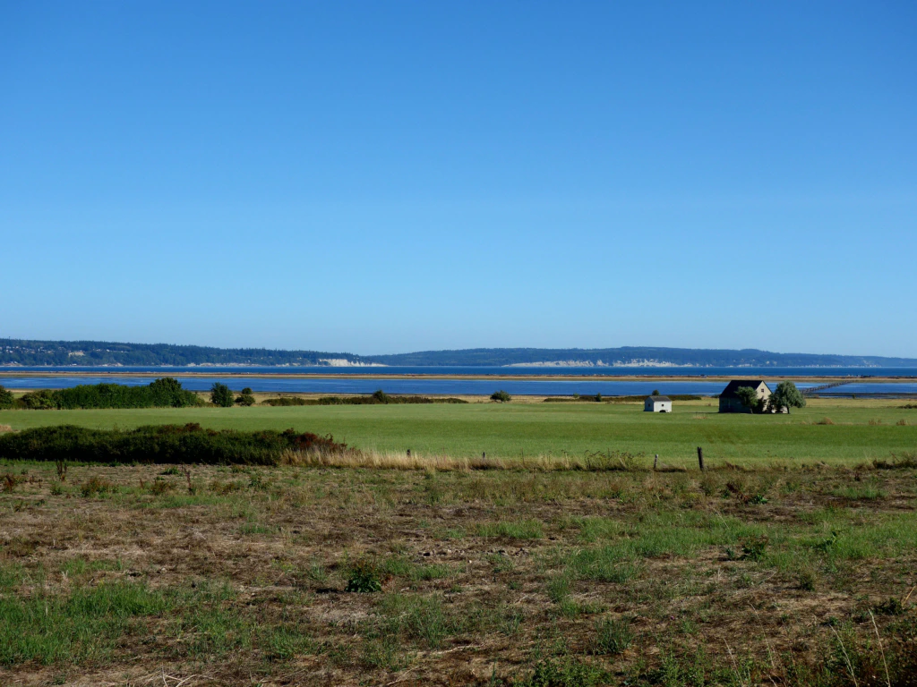
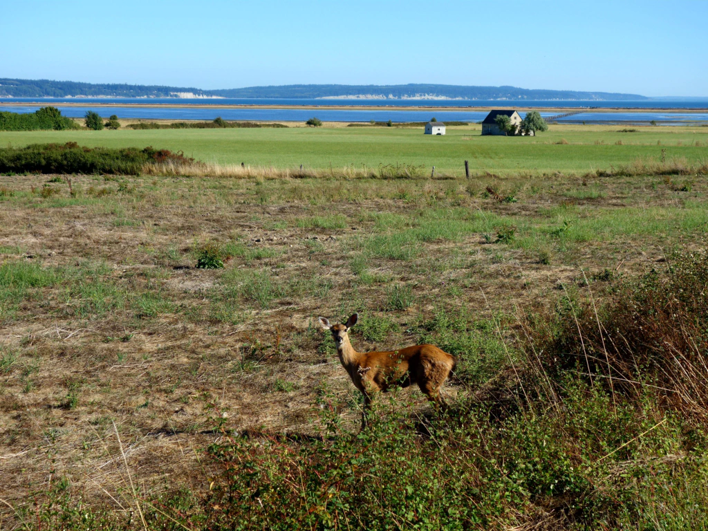
Around 6 pm we arrived at the campground in Fort Casey State Park, which would be worth a trip of its own.
Luckily, in the USA as a traveller under your own steam you do not have to worry about a spot for your tent: every campsite had hiker/biker areas that work on a first come, first served basis. And even though these can theoretically fill up, they do not turn anybody away in the evening either, so I am told. That let us shape our route spontaneously and ride as far, or stay as long, as we wanted.
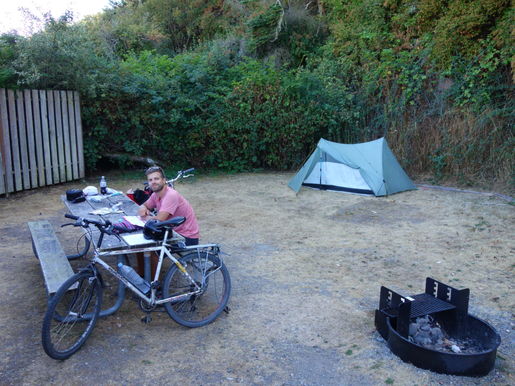
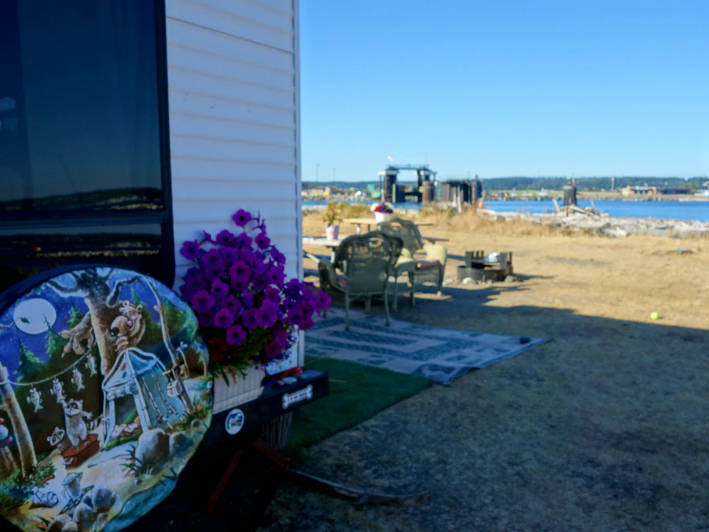
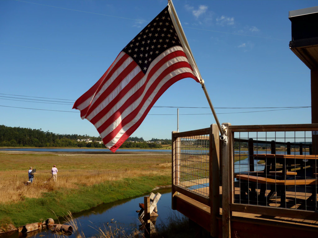
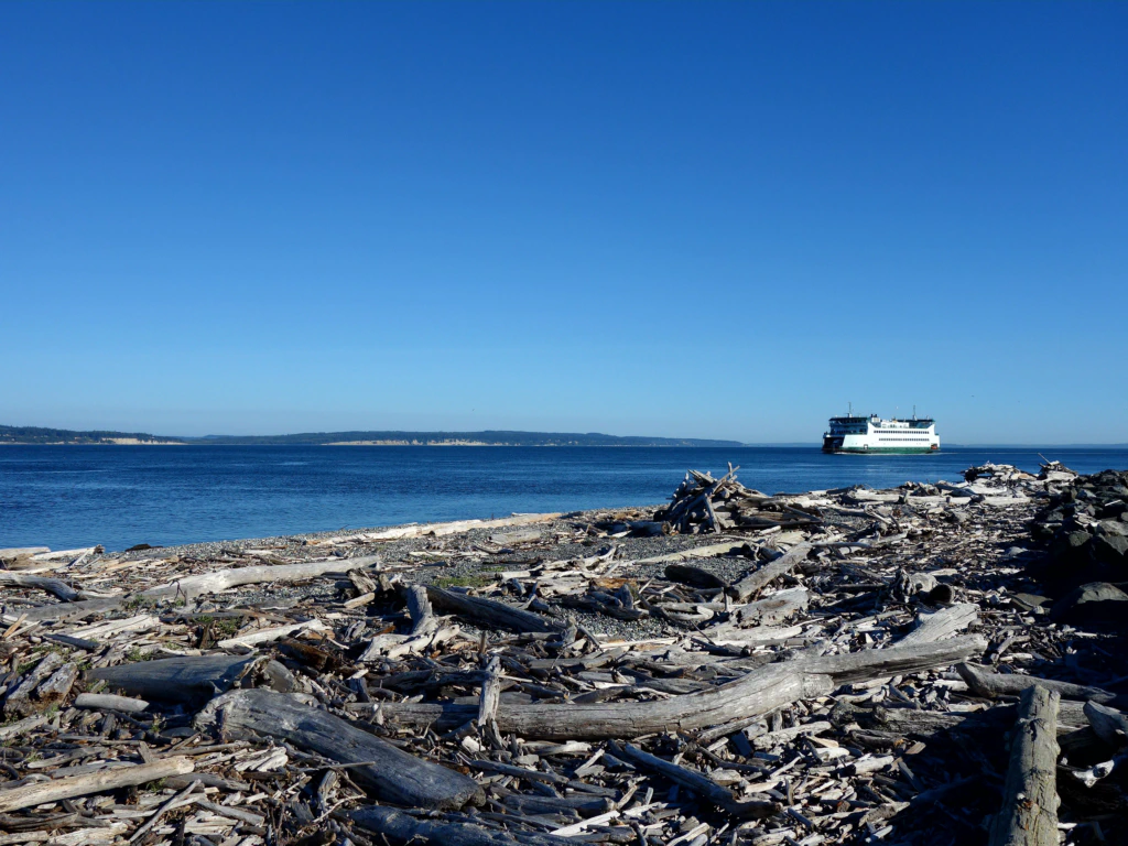
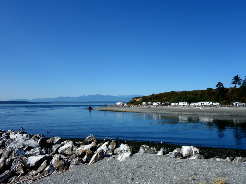
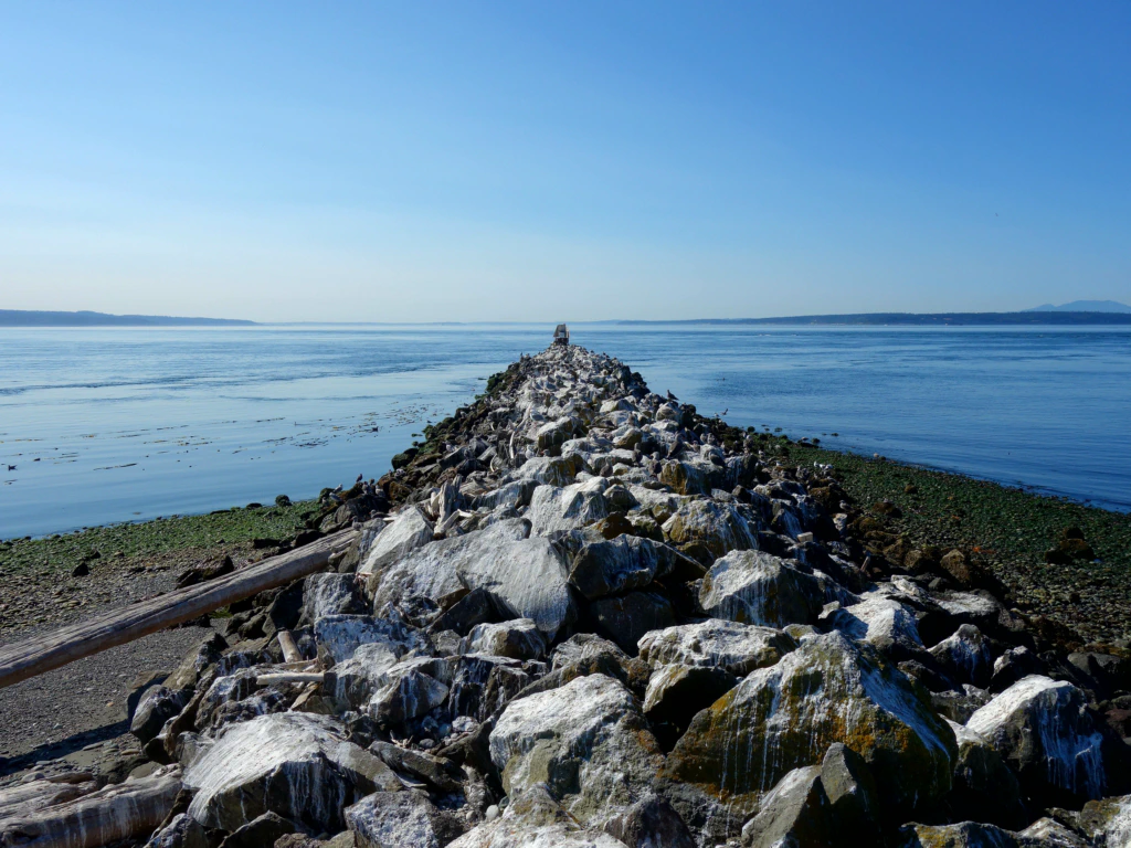
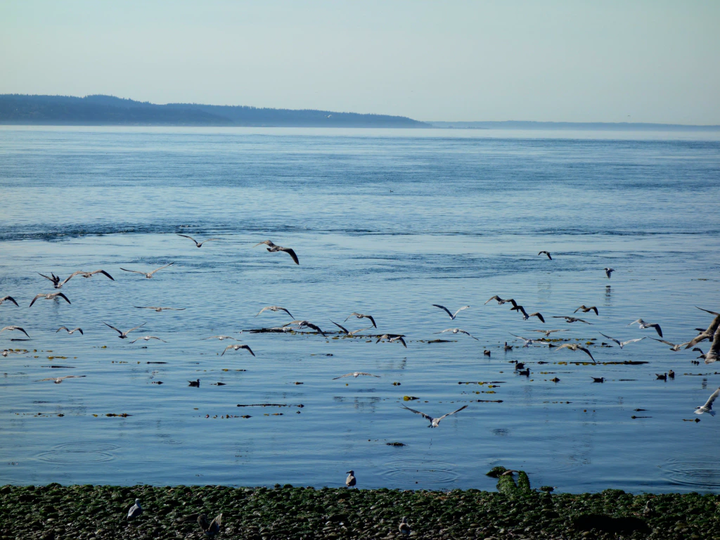
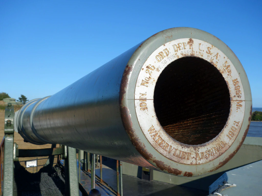
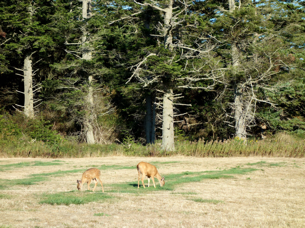
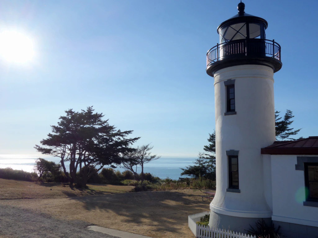
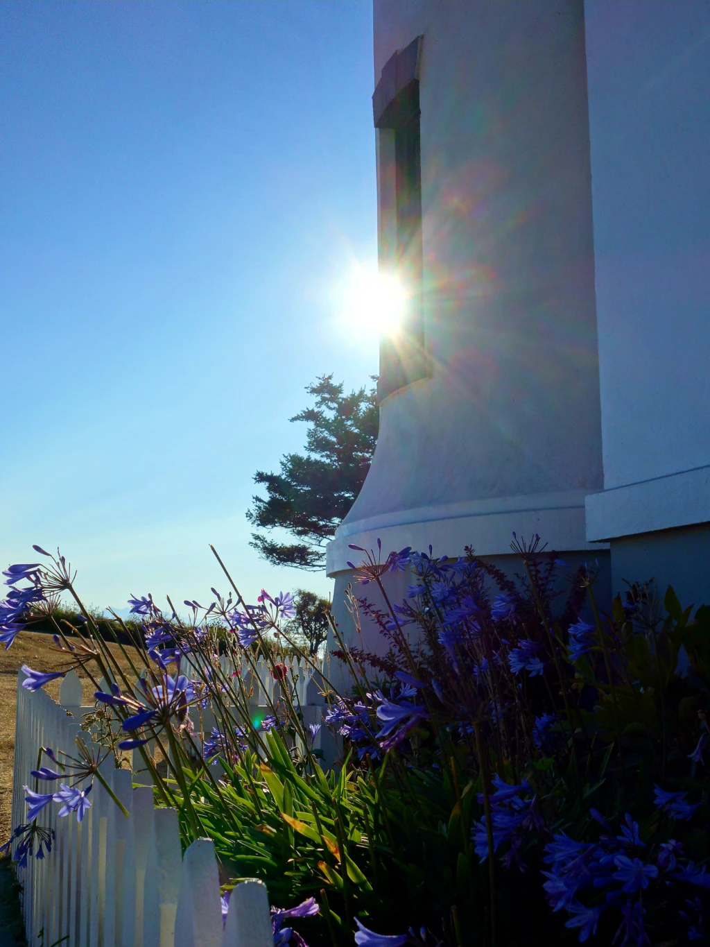
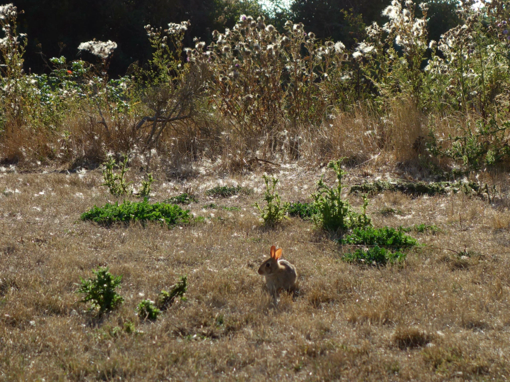
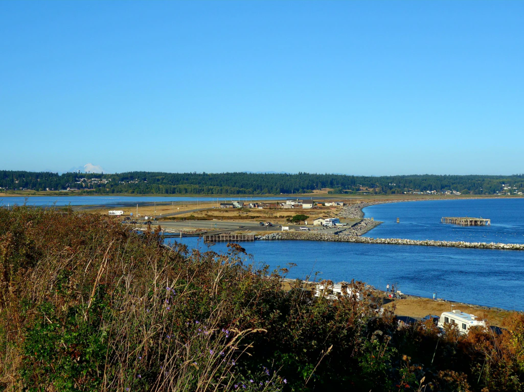
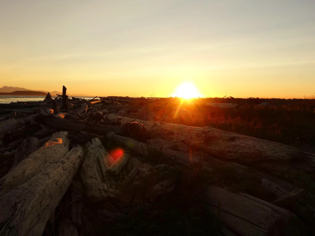
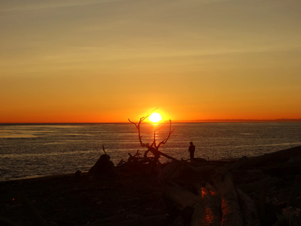
So: all of that was a single day! When we got back from our trip and I set about going through the pictures, I had to note that I took 650 pictures during the 10-day cycling trip! And it would not surprise me if that day contributed an above-average number.
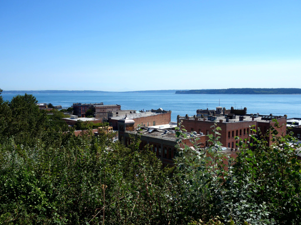
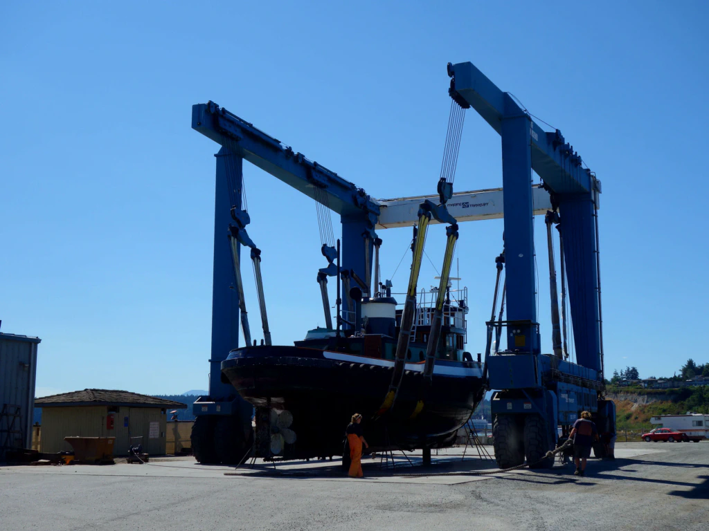
The next morning the next ferry ride was on the cards. This time to Port Townsend on the mainland. The little town looks very impressive: you cruise towards a rock face, at whose foot the harbour and old town lie, while the residential districts have been built on top of the rock.
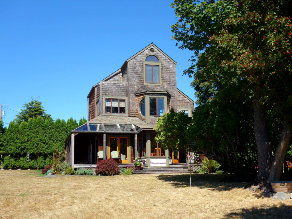
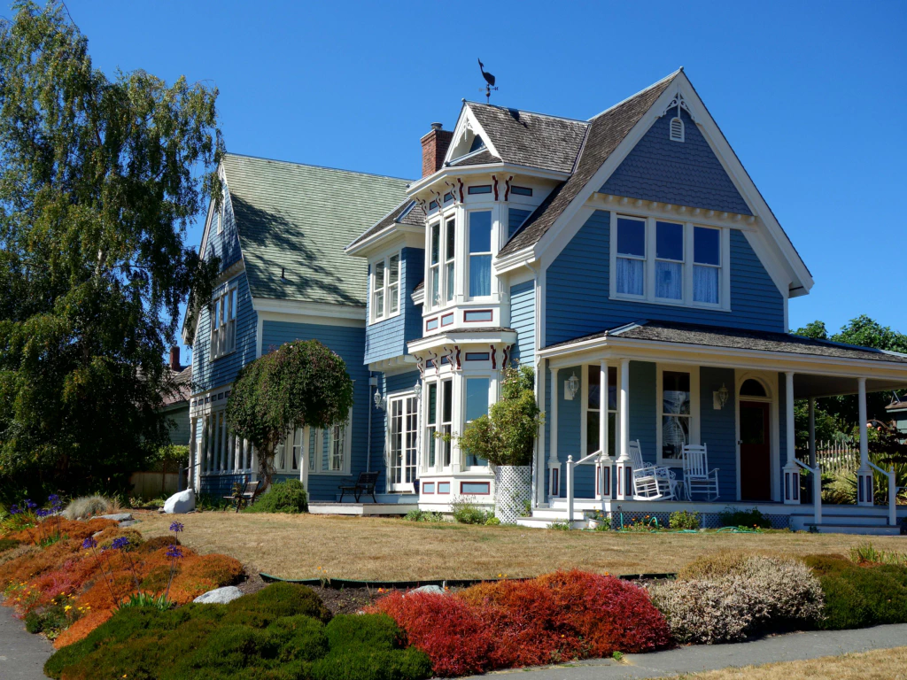
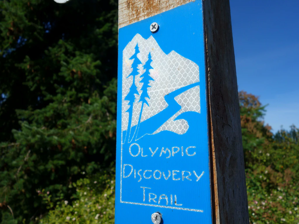
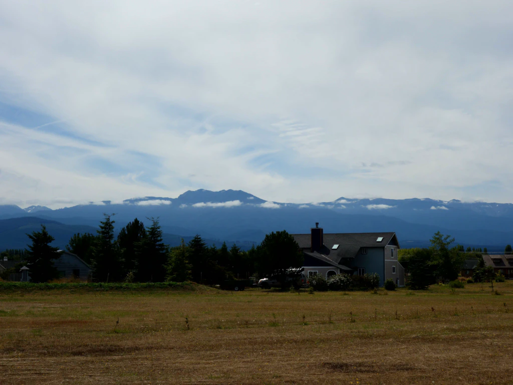
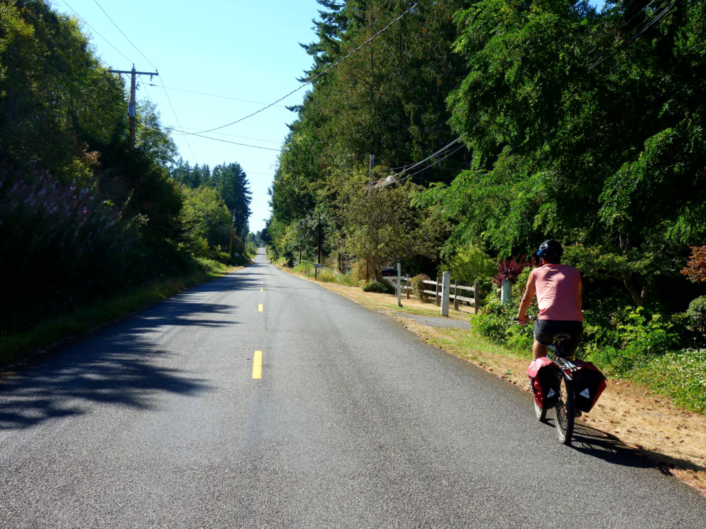
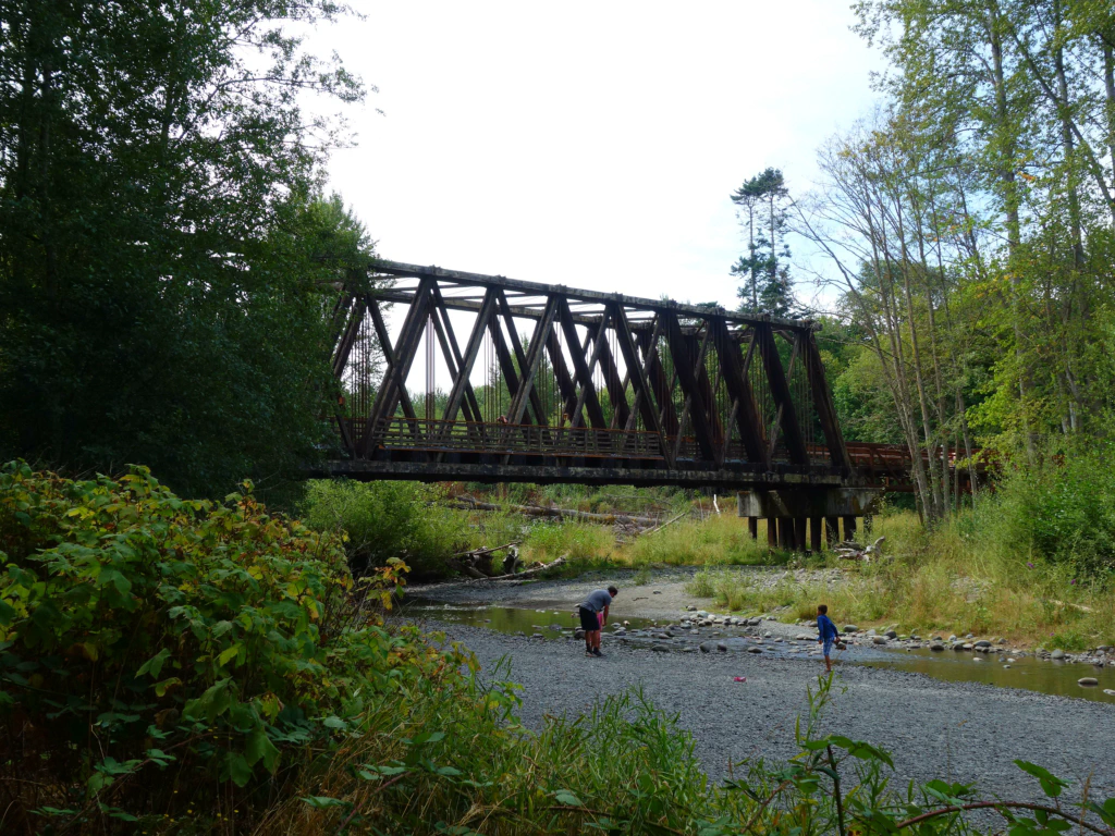
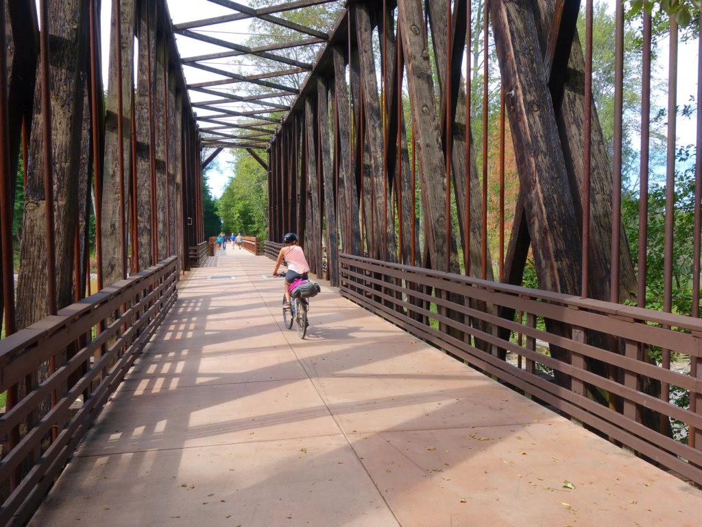
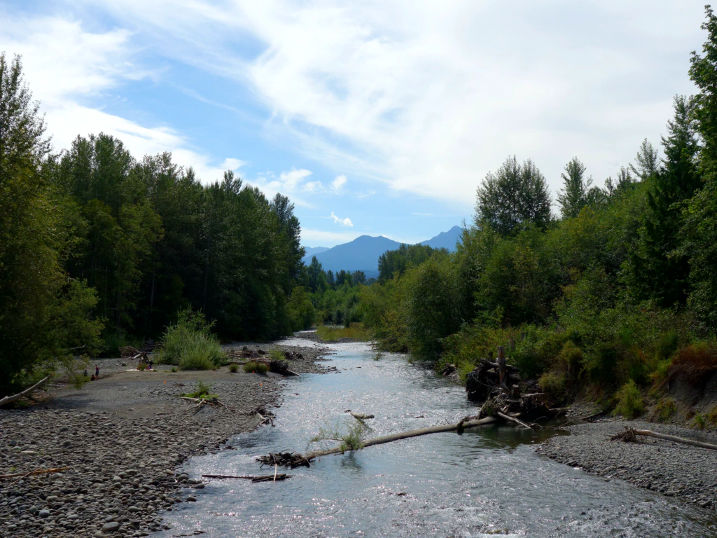
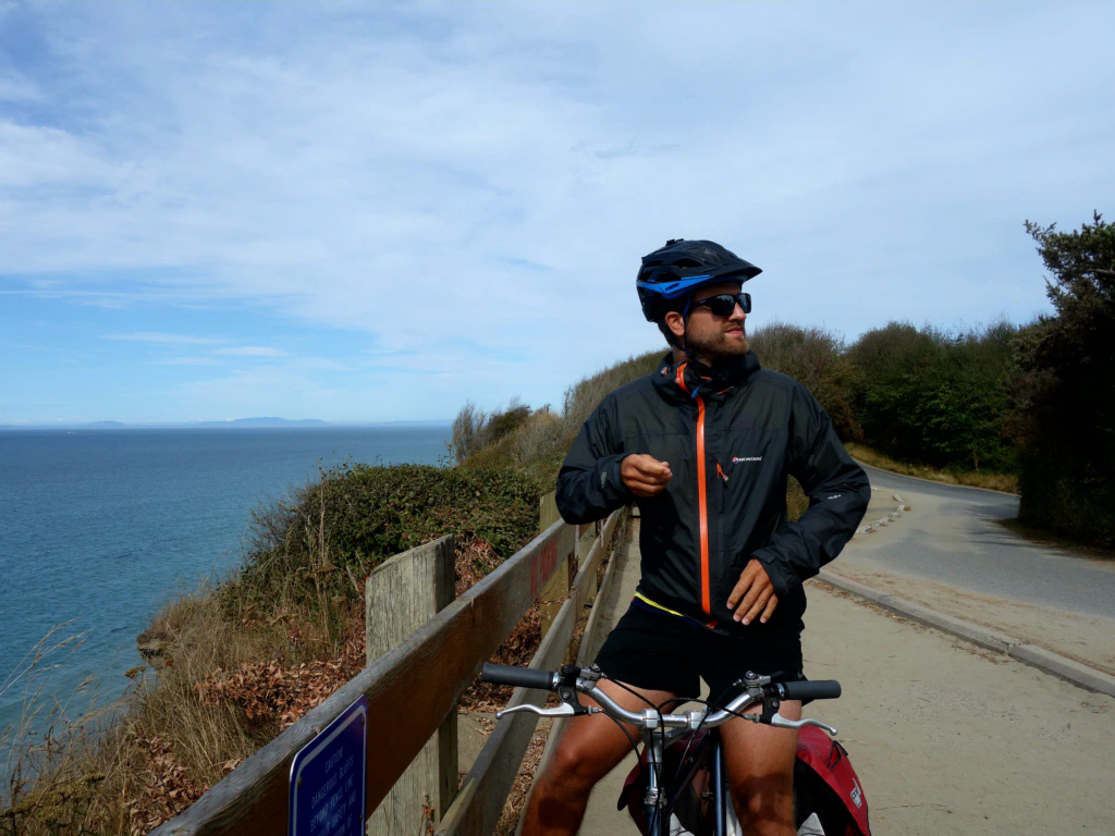
From Port Townsend we followed the Olympic Discovery Trail, which runs about 90 km to Port Angeles, from where we would take the ferry back to Vancouver Island. The cycle route runs sometimes through forest, sometimes along meadows and farmland - and above all always with a view of the snow-covered slopes of the Olympic Range in Olympic National Park. ❤️
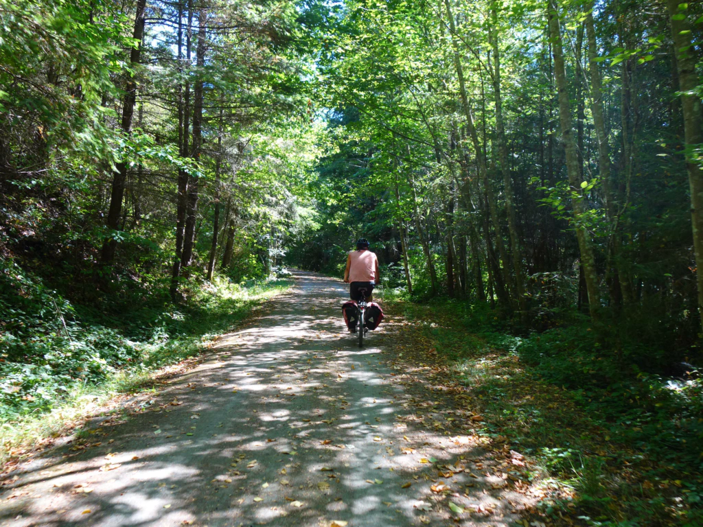
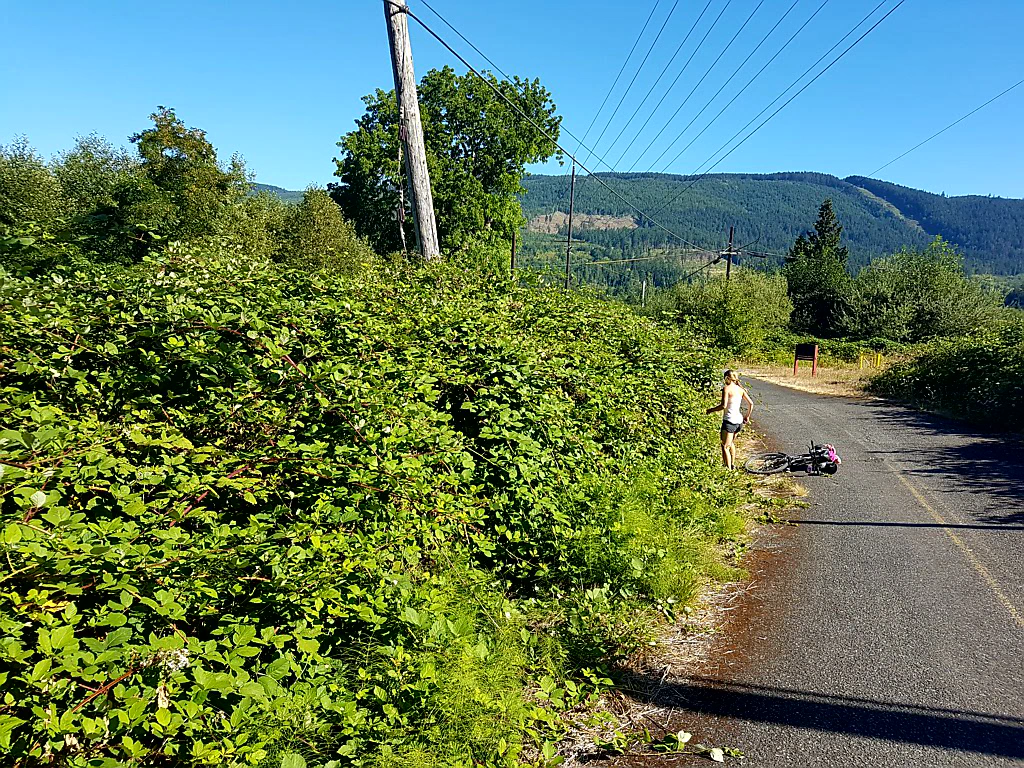
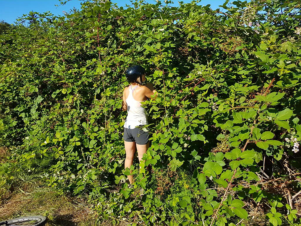
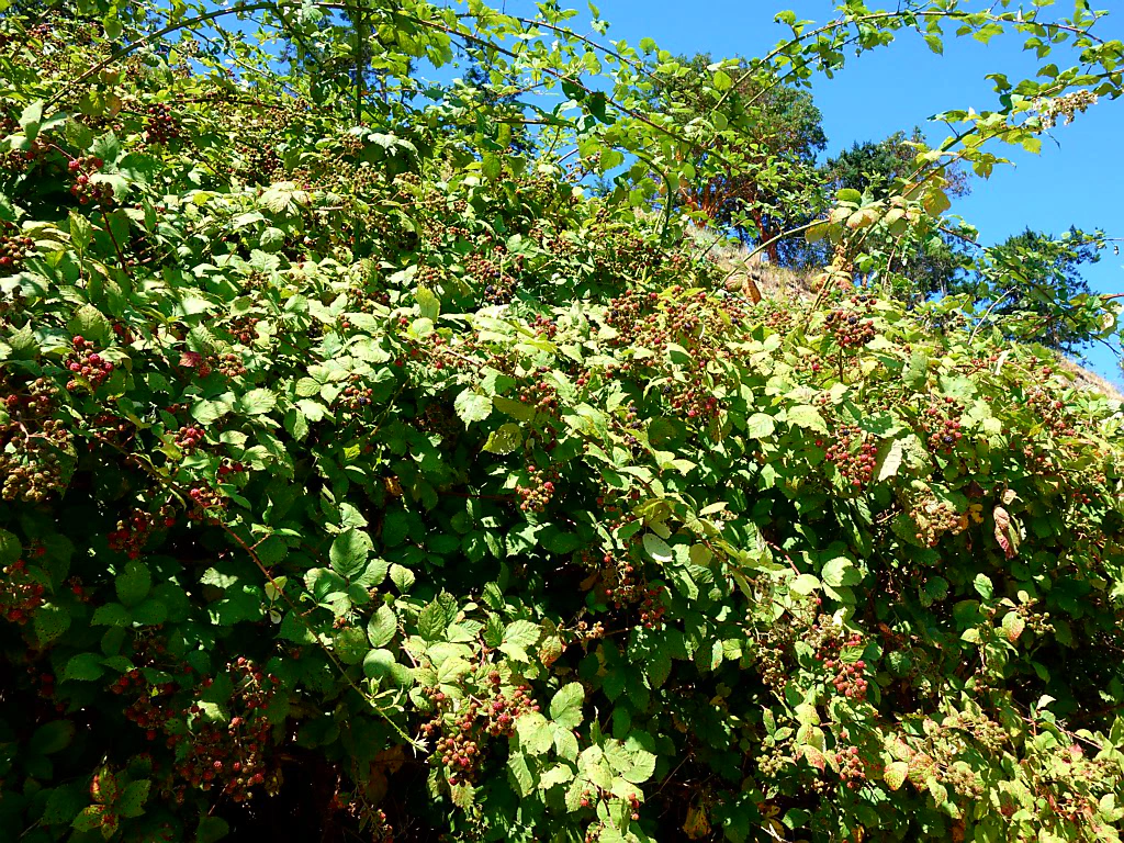
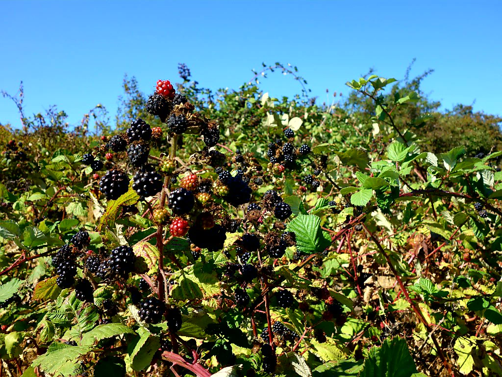
The very, very best thing, though: the cycle route invites you to pick blackberries non-stop. Blackberry bushes grow along every path in this corner of Canada and the USA. Diligent berry pickers armed with plastic tubs are part of the street scene. Some are even equipped with ladders - after all, the low-hanging fruit has usually been picked already.
Part of the Olympic Discovery Trail also runs for kilometres along the hard shoulder of the highway… Those are the worst kilometres. Not only because it is slightly unsettling when the trucks roar past beside you. But also because your eyes lead you to believe the road stretches harmlessly flat ahead of you. So why does every fibre of your body feel as though it were locked in a constant battle against a mountain?
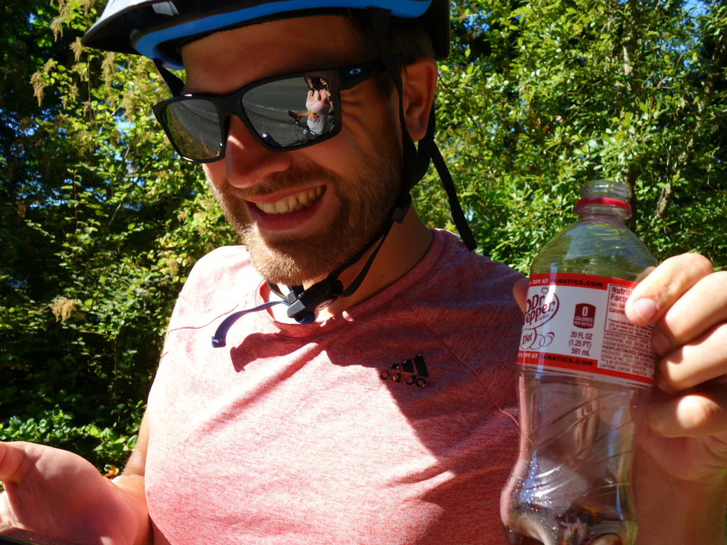
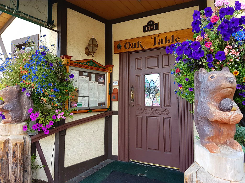
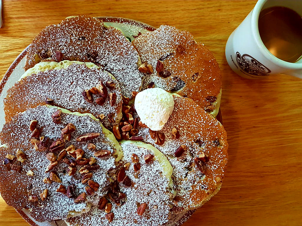
In the evening at Sequim Bay National Park Jan tried to talk me into breakfast in town and read me the menu of the Oak Table Café: buttermilk pancakes with a choice of blueberries or pecans, pancakes with raspberries and white chocolate, buckwheat pancakes, even ‘German pancakes’ baked in the oven and served with lemon wedges - who on earth came up with that?
I was convinced after two words, at any rate, to give the porridge breakfast a miss.
The Oak Table Café turned out to be a genuine institution with a great deal of old-school charm. Mmmmmmh, thinking back now to my mountain of pancakes, I want to go straight back. ❤️
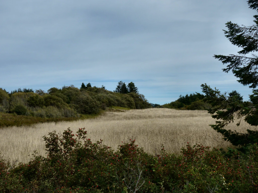
With very full stomachs we cycled only about an hour to Dungeness County Park, where we pitched our tent for the night. A rather cold breeze was blowing there, which drove us into our tent as early as the afternoon.
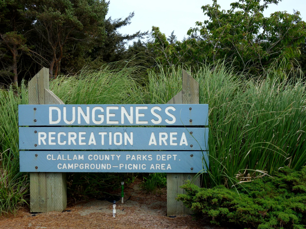
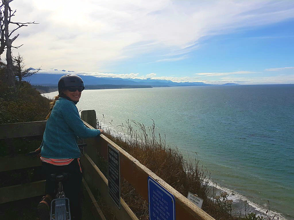
It is rather funny: on the San Juan Islands , just as on the Gulf Islands before, there are no bears (and no wolves), so you (I) can sleep in the tent in peace - as long as a herd of deer is not keeping you awake. When we crossed to the mainland, I had not registered that this might have changed - until a warning sign hung at the entrance of Dungeness County Park saying that a mother bear with her cubs had been sighted frequently of late. And everybody knows bears can become unpredictable when they want to protect their young…
Well-meant behavioural advice does not help either, such as positioning yourself with the wind towards the bear so that it smells that there is a human in front of it. After all, we are not usually on the menu for black bears. I do not see myself checking the wind direction first in an emergency.
Sure enough, at dusk I see large shadows creeping past our tent. Every snapping twig and every rustle in the bushes makes me hold my breath. And above all I do not want to need the toilet at night…
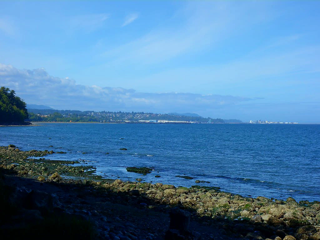
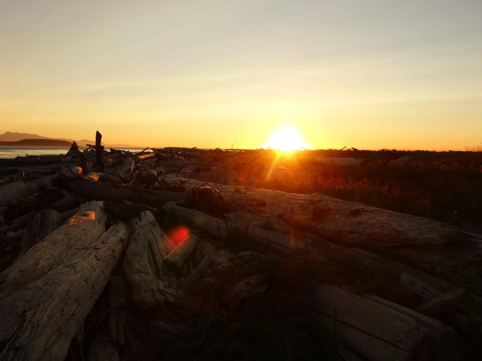
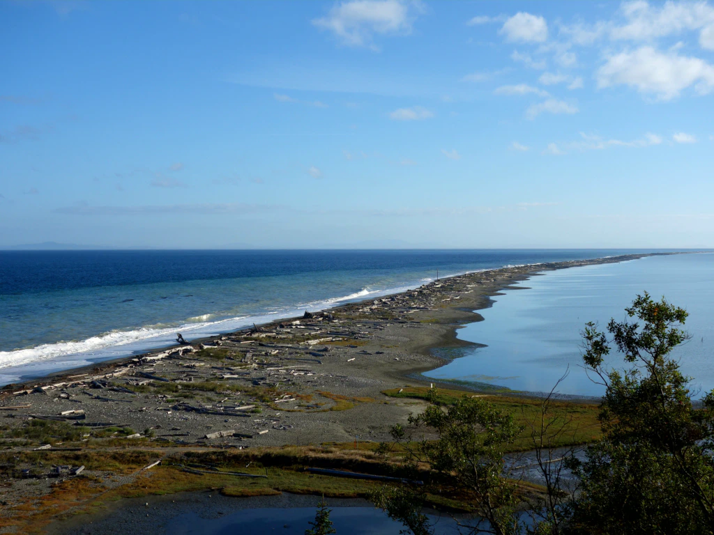
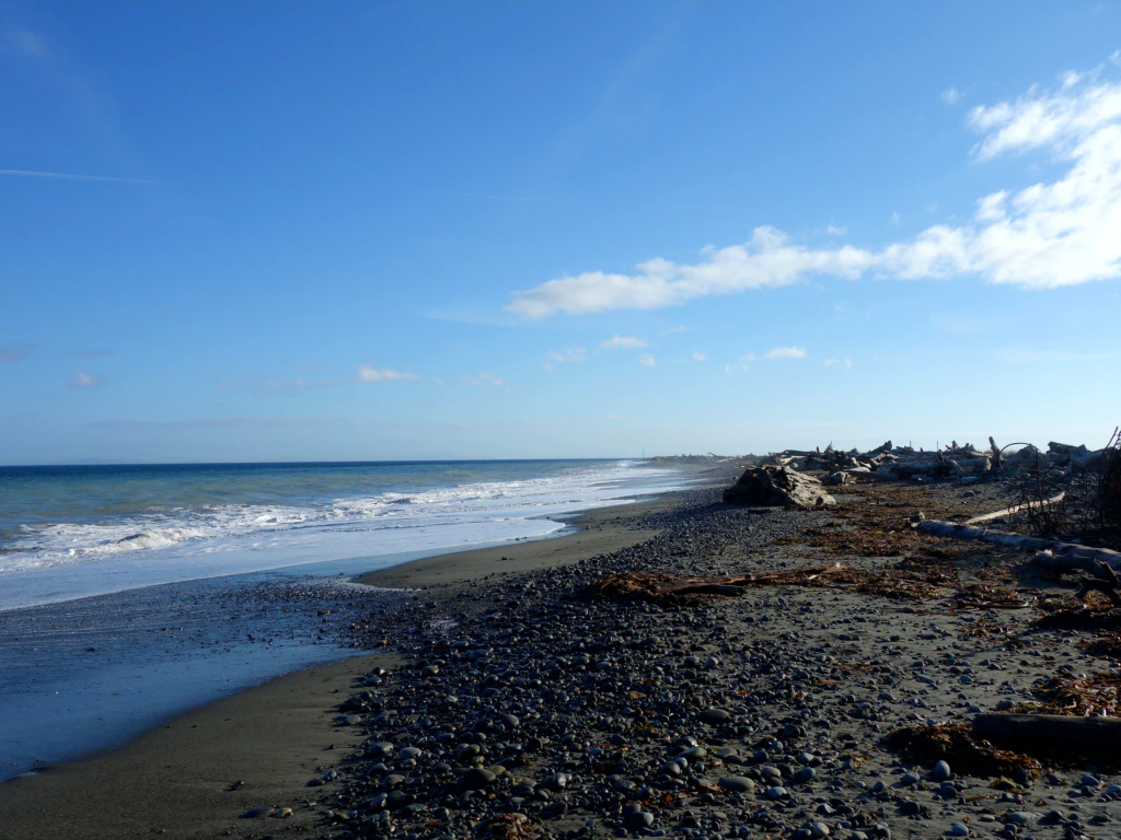
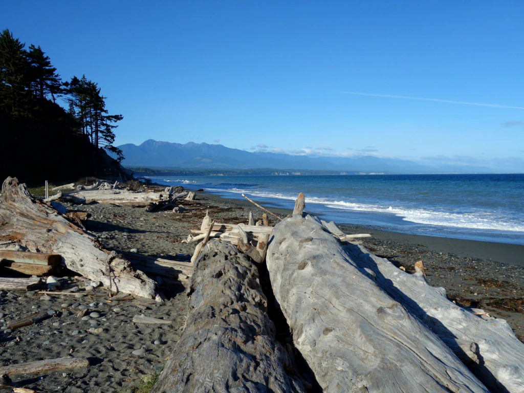
As always the world (and the forest) looked much better the next morning. It was time for a walk along the Dungeness Spit - a 10 km spit of land with a lighthouse standing guard at its end. That early in the morning nobody else was out and I had the sea, the sand and the gulls to myself.
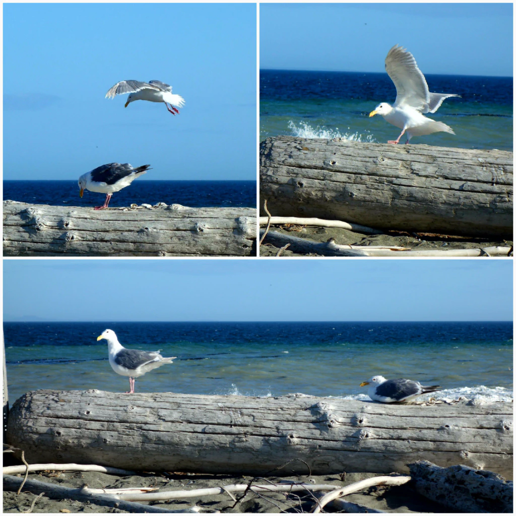
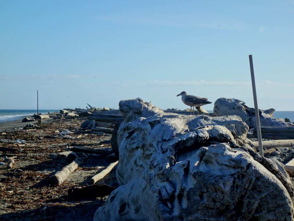
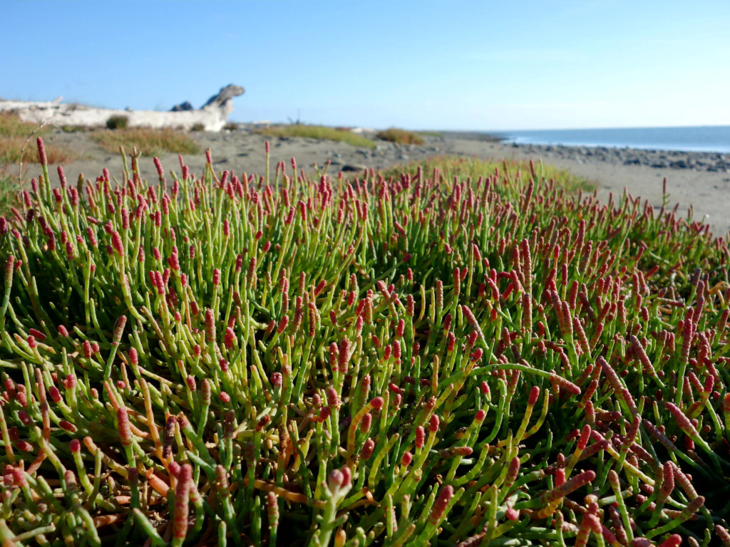
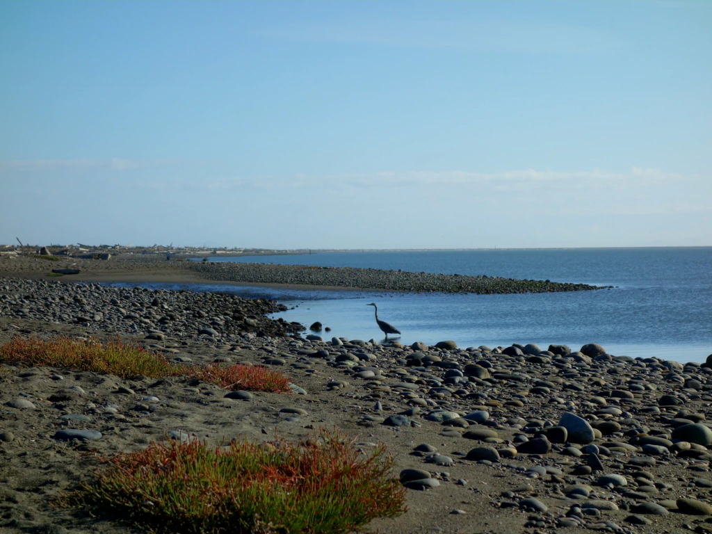
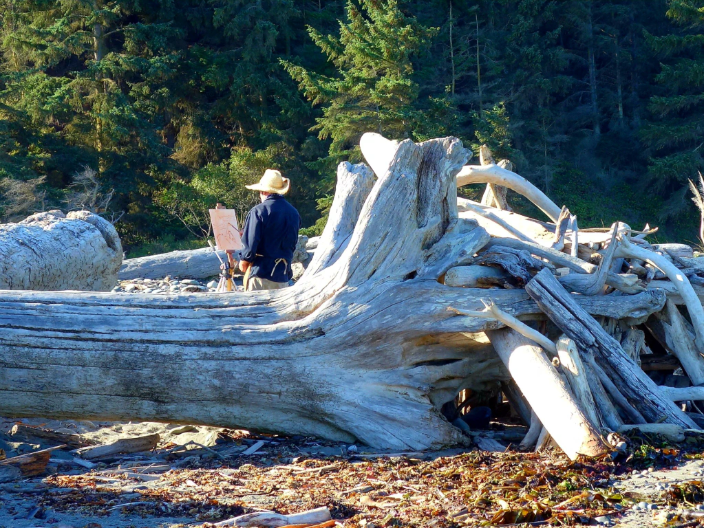
Back at the tent I woke Jan, who had not slept a wink either. I am not the only one left with an uneasy feeling in the stomach by bear warning signs.
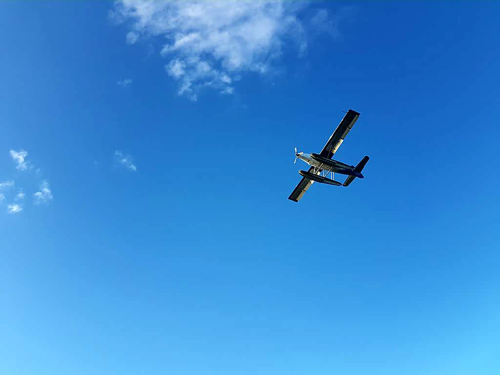
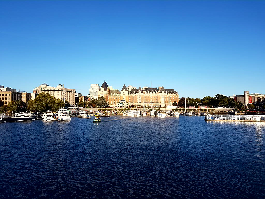
The final stage of our cycling trip lay ahead. We keep having to pinch ourselves at how lucky we are with the weather. We have been in and around Vancouver Island for four weeks now - and it has rained on only one night. We can count the days with a cloudy sky on one hand as well. Incredible!
Unlike at (most of) the other stops on our journey, we have met almost no foreign tourists here so far. There were always plenty of holidaymakers, as the constantly booked-out campsites prove. But they were always Canadians or Americans. We are tourists ourselves, of course - but it simply feels good to travel like the locals. ❤️
If somebody asked me for travel tips around Vancouver Island, though, I would barely have an answer ready. Going fishing on a sailing boat , doing a canoe trip across several lakes and cruising the offshore islands by bike - we could only do all these wonderful things because Dan generously lent us his gear and, for instance, put the ideas into our heads in the first place. And we keep discovering so many new possibilities of what you can do here that we would happily come back for the next ten summers as well.